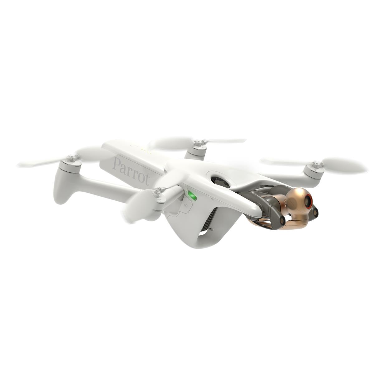
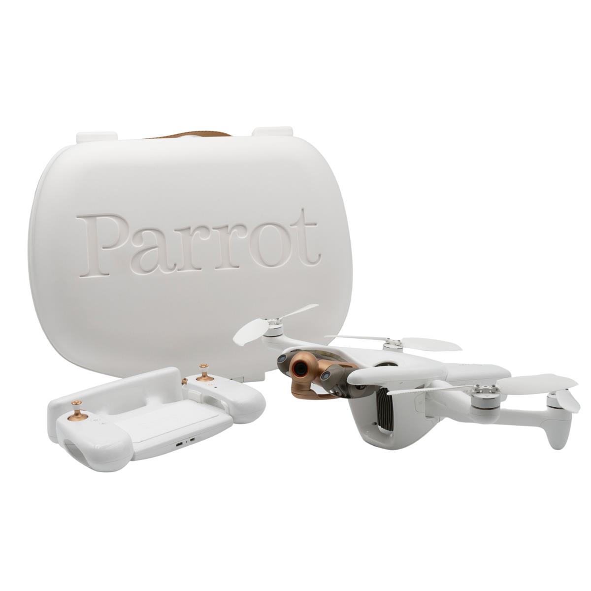
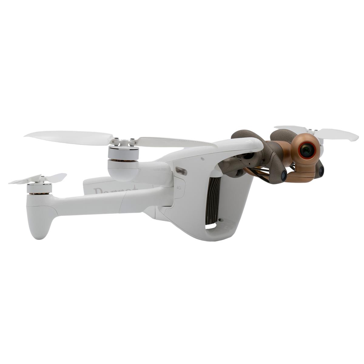
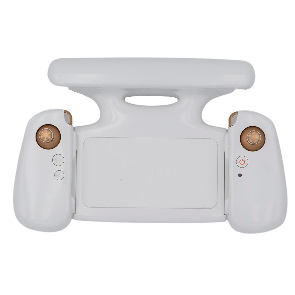
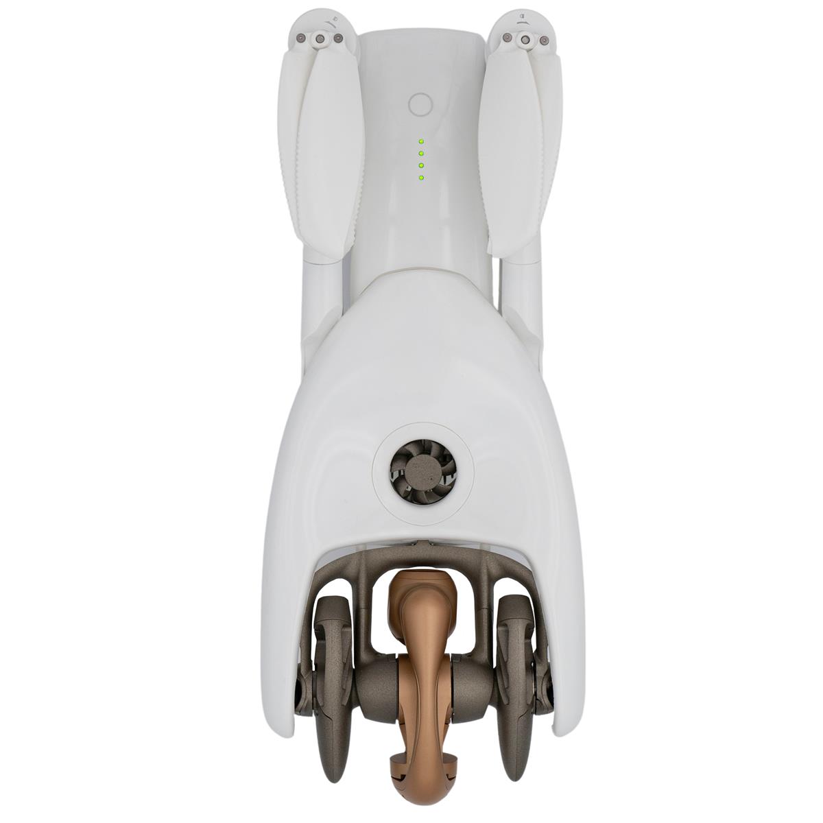
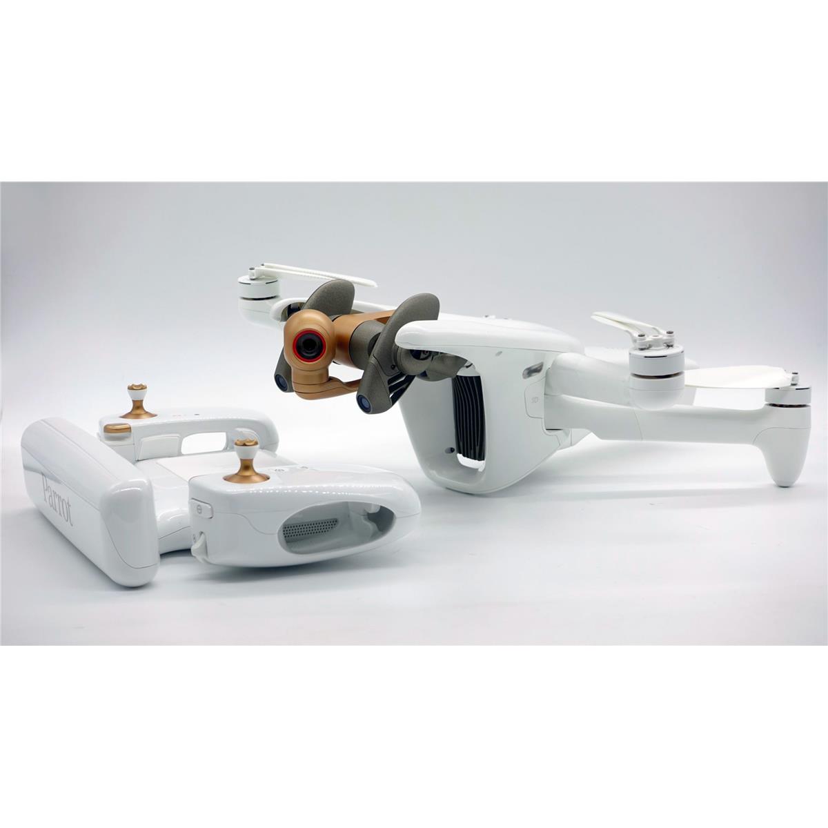
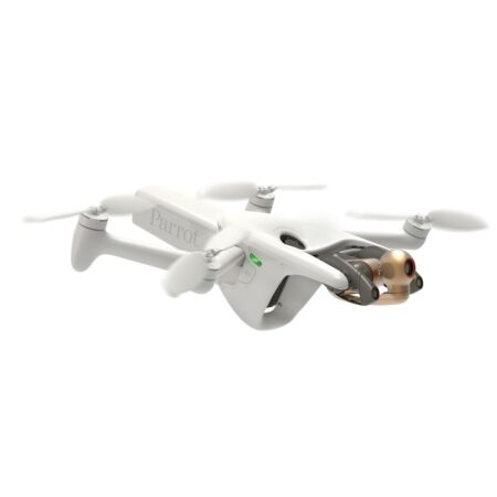
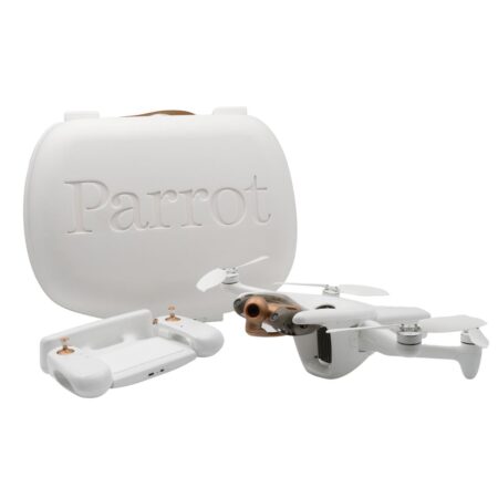
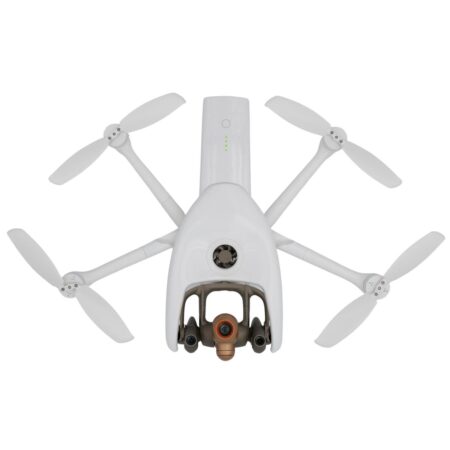
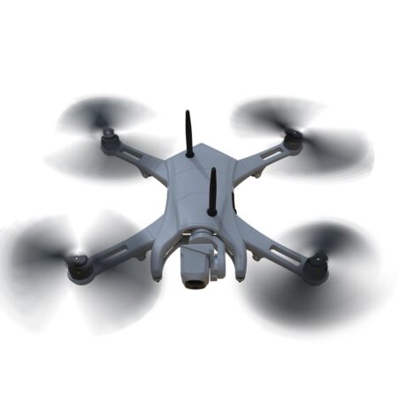
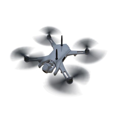
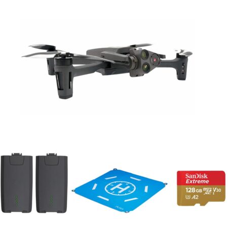
Parrot ANAFI Ai Drone
$ 4,500.00
KEY FEATURES:
- The first 4G connected robotic UAV
- 48 MP imaging accuracy
- Ready to fly in 60 seconds
- Seamless 4G/Wi-Fi switching
- Flies Beyond Visual Line Of Sight
- 1080p 30 fps live streaming
The first 4G Connected Robotic UAV
ANAFI Ai provides professionals features that really matter: 4G as the new communications standard, 48 MP of imaging accuracy, intelligent obstacle avoidance for autonomous photogrammetry missions and a unique robotic platform with the first open-source piloting application. ANAFI Ai embeds a Secure Element that protects both the integrity of the software and the privacy of data transferred.
4G Connectivity
4G is profoundly changing the use cases for drones. With 4G, the data link between the drone and the pilot becomes robust in all circumstances. Already widely and reliably deployed around the world, 4G offers long range transmission at low frequency bands at 700MHz – 900MHz.
Additionally, the 4G connection means professionals can operate the drone at any distance.
Many 4G operators offer quality-of-service guarantees for first responders, such as firefighters and police.
At Parrot, we have worked hard to develop a powerful streaming software adapted to any 4G situation. Our software quickly optimizes the definition and frame rate to the network quality. Our software is also robust to packet and frame losses.
ANAFI Ai itself does not require a subscription; users can utilize any SIM card capable of sending data. Parrot provides its users a secured infrastructure that works with all smartphones.
48 MP Imaging Accuracy
ANAFI Ai’s Quad Bayer sensor offers 14 EV of dynamic range in HDR10 mode. It catches all the details both in highlights and shadows.
Inspection professionals can use the 6x digital zoom to observe 1 cm details at a distance of 75 m.
The controllable gimbal tilt range (from -90 Degree to +90 Degree ) gives professionals access to complex points of view such as the underside of a bridge structure.
The hybrid image stabilization on 6 axis (3-axis mechanical, 3-axis electronic) ensures sharp photos even in crosswinds of up to 12.7 m/s.
P-Log format allows professionals to retain more information with raw files.
Autonomous Photogrammetry
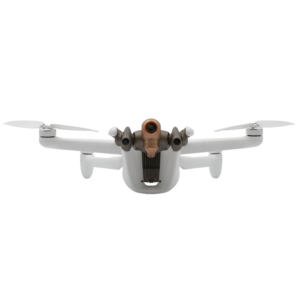
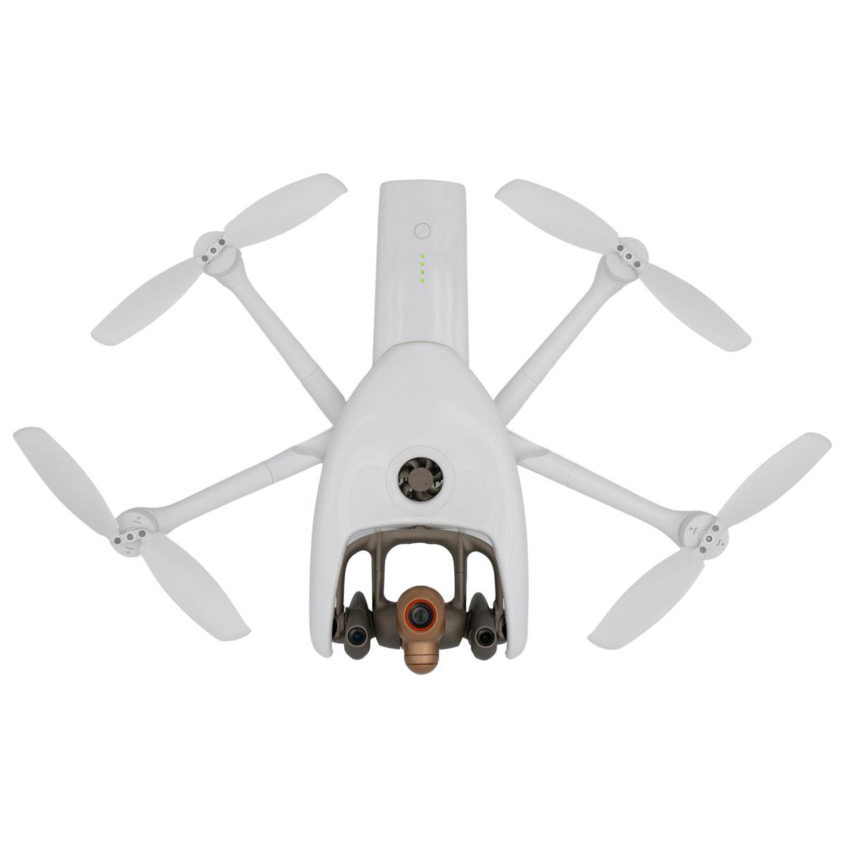
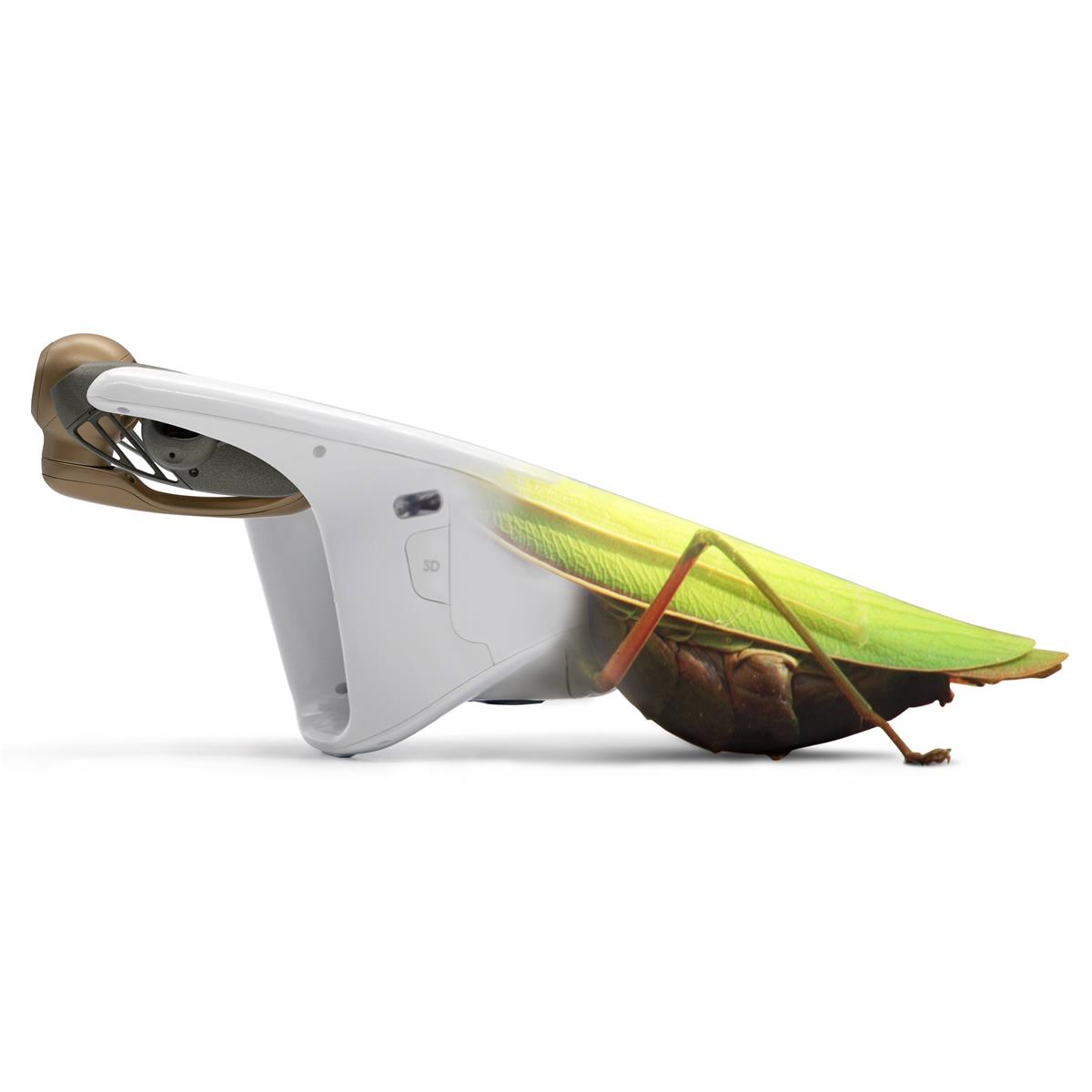
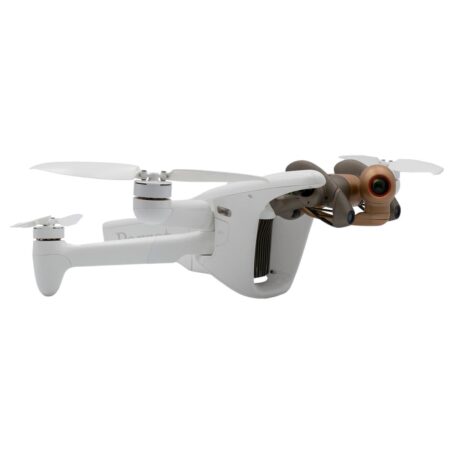
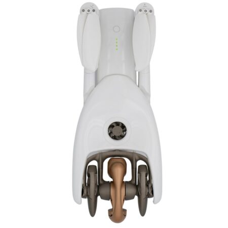
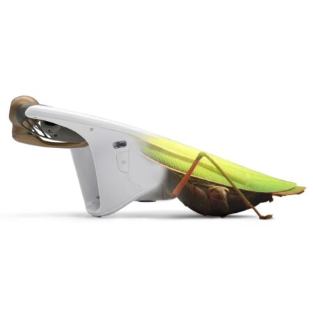
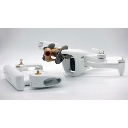
ANAFI Ai’s biomimetic form factor mimics nature’s fitness. Its swivel head has an omni-directional camera, ensuring precise obstacle avoidance in every flight direction. When obstacles are detected, ANAFI Ai automatically determines the best trajectory to pursue its mission.
Embedded Artificial Intelligence allows for photogrammetry-specific flight plans to be performed automatically, optimizing productivity, and saving time. Professionals can generate optimized missions based on the land registry of the building selected in just one click.
ANAFI Ai’s Quad Bayer 48 MP sensor delivers survey-grade accurate 2D and 3D models. It offers the same precision as drones with a 1″ 20MP sensor, while flying 1.8 times higher. A GSD of 0.46 cm/px is obtained at an altitude of 30 m. Pictures can be captured at 1fps, 2x faster than any other drone in the market.
ANAFI Ai images are compatible with all photogrammetry software suites. With PIX4D, the market leader in photogrammetry software, Parrot has pushed the integration one step further. During the flight, ANAFI Ai sends the pictures to PIX4Dcloud directly. Computation starts when the drone lands so that professionals gain productivity by avoiding manual time-consuming data transfer.
A Unique Robotic Platform
Since the first Parrot A.R. Drone in 2010, providing open-source SDKs is at the heart of Parrot platforms. Parrot continually contributes to the worldwide open-source drone community.
With the launch of ANAFI Ai, Parrot strengthens its Software Development Kit (SDK) by open-sourcing the 7th version of its FreeFlight ground control station application
• Air SDK: provides a breakthrough technological architecture to run code directly on ANAFI Ai. Developers can program custom-designed autonomous flight missions by accessing all drone sensors, connectivity interfaces, and autopilot features.
• Ground SDK: allows developers to create iOS and Android mobile applications for Parrot drones. All the features of the drone (control, video, settings) are accessible.
• OpenFlight: the open-source core of FreeFlight 7 application. Developers can focus on adding their own features and immediately get a professional-looking App ready to be published on the application stores.
• Sphinx: enables developers to test their algorithm and flight strategy in a photorealistic 3D simulation environment running through Unreal Engine, with accurate physical interaction.
Parrot’s industry-leading SDK facilitates the implementation of tailored end-to-end solutions for professionals from public safety, search & rescue to defense and inspection fields.
Parrot platforms are built on industry standards (WIFI, RTP/RTSP, MAVLINK), making interoperability much easier.
Parrot keeps on expanding its mature software ecosystem: from enterprise drone platforms (Skyward, a Verizon Company, Measure, an AgEagle Company), flight logs services (DroneLogbook, Airdata), public safety programs (DroneSense) and advanced mission planning (QGroundControl, UgCS), to media and data cloud platforms (Survae), real time geospatial situational awareness (Rapid Imaging, Textron Systems), surveying and mapping (PIX4D).
Cybersecurity By Design
Pioneering flight, Parrot is also pioneering security.
ANAFI Ai embeds a WISeKey Secure Element which is NIST FIPS140-2 Level 3 compliant and Common Criteria EAL5+ certified.
The Secure Element
• performs cryptographic operations.
• stores and protects sensitive information.
• protects the integrity of the embedded software.
• provides a unique identity to the drone for 4G pairing and strong authentication.
• features a unique digital signing of the pictures taken by the drone.
Users have full control over their data. No data is shared by default without the user’s express consent. ANAFI Ai is compliant with the European Union General Data Protection Regulation (GDPR) and in some cases goes even further. For example, users can delete all data with 1-Click, easily maintaining control over what is stored.
A bug bounty program is currently running in partnership with YesWeHack, the first European crowdsourced security platform. Parrot benefits from their vast community of cybersecurity researchers to identify potential vulnerabilities in its drones, mobile applications and WebServices.
Firmware
FF7
• Database: New project database format. Database will be migrated at first launch of FF7 v7.4
• Photogrammetry: 1-click missions are now generated in absolute (AMSL) altitude
• Touch&Fly: WP and POI are now displayed in the streaming view in both video and photo modes
• RTH: RTH Trajectory is now displayed in the map view
• Settings: New settings for developers in order to access debug tools
• FP/PGY: Added custom RTH settings for FP/PGY projects
Flight behavior
• Flight: Vertical stability enhancement
• Flight: Altitude estimation accuracy enhancement
• Obstacle Avoidance: Sensing algorithm enhancement to avoid fake obstacles detection
• RTH: Added alert message and RTH launch in case of battery communication loss
Media
• Video: 4K 48/50/60 fps & 1080p 96/100/120 fps mode disabled
• Video/photo: Updates on Panorama behavior: number of photos is reduced from 42 to 38 to speed up acquisition time
• Video: Improved Auto-Exposure in HDR modes
Connectivity
• 4G: Enhanced connection status message and link to Parrot for support
• Debug: Updates on WiFi regulations per countries
Mission
• Ophtalmo: Added support for handlaunch and handland in Ophtalmo mission
• Vehicle: New UX during landing when vehicle is stopped
• Vehicle: Link displayed between vehicle & drone when tracking is on
• Vehicle: Landing behavior enhancement
SkyController
• GPS Ublox 9 is now supported
• Drone can be used as a dongle with Parrot Sphinx tool
GroundSDK
• New alarms that describe why an auto-landing was triggered by the drone due to: propeller icing, low battery, hot/cold battery
• New information on BatteryInfo instrument: hardware revision, firmware revision, gauge version, USB version
• New CellularSession instrument both on SkyController and on drone, which allows to be informed of the current cellular session statuses aggregating information from the SkyController, the ground station and the drone
• Added a pitch mode to MavlinkStandard.SetViewModeCommand that allows to choose between absolute and continuous; when using absolute pitch mode the camera orientation is fixed between two waypoints; the camera orientation changes only when the waypoint is reached; when using continuous pitch mode the camera orientation changes linearly between two waypoints
• Correctly update the RTH reason on FlightPlanPilotingItf when the flight plan starts an RTH
• New developer mode settings such as:
• DebugShell peripheral which allows to use an ADB public key to enable ADB shell access to the drone
• AirSDK mission logs, which can be enabled using the LogControl peripheral
• for more information refer to https://developer.parrot.com/docs/airsdk/general/developer_settings.html
Olympe
• New feature: support developer settings commands and events (arsdk/developer.proto)
• Deprecation notice: Python 3.6 and Python 3.7 usage is now deprecated. This is last release supporting Python 3.6 and Python 3.7
• Bug fixes:
• Media API update: add missing “title”, “bo
Parrot ANAFI Ai Features
- The first 4G connected robotic UAV
- 48 MP imaging accuracy
- Ready to fly in 60 seconds
- Seamless 4G/Wi-Fi switching
- Flies Beyond Visual Line Of Sight
- 1080p 30 fps live streaming
- No interference near telecom towers
- GPS, Glonass and Galileo Satellite navigation

